
Route Finder
Draw the route yourself. Much harder than picking one, and it shows.
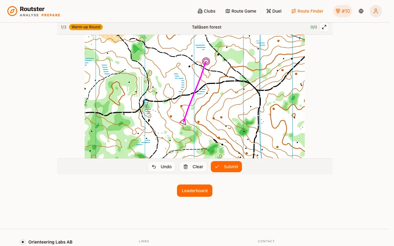
Route Finder gives you a map crop with a start and a finish and no drawn alternatives. You draw the route freehand, and it is scored against the shortest legal path, computed over the map's own passability, so it is a route that could actually be run.
This is a different skill from route choice. There, the candidates are handed to you and you evaluate them. Here you have to see the route before you can evaluate anything, which is what you actually do in the terrain.
On the screen
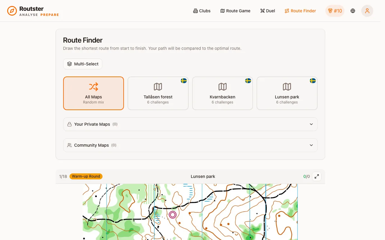
Pick a map (or All Maps) and the first challenge opens under the picker. The top bar shows your place such as 1/18, a Warm-up Round tag on the first three, the map's name, and your correct and total answers. Draw with a finger or the mouse from the start to the finish, and fix it with Undo or Clear before you Submit. If your line enters impassable ground, Impassable terrain! flashes in the bar. The expand button makes the game fullscreen, and fullscreen plays every challenge while the normal view plays the shorter half. On a phone the game says Best on a larger screen first; tap Play Anyway to go on.
Scoring
score = min(lengthScore, tooShortCap) − endpointPenalty − terrainPenalty
clamped to 0–100
Four components of unequal weight. Length is the score; the other three guard against a good length figure without a real route behind it.
Length: the score itself
Fifteen per cent longer than optimal is free. Past that the penalty grows with the square of how much longer you are, so small detours cost almost nothing and gross ones cost everything.
| Your route | Length score |
|---|---|
| up to 1.15× optimal | 100 |
| 1.5× | 97 |
| 2× | 82 |
| 2.5× | 54 |
| 3× | 14 |
| 3.15× or longer | 0 |
The tolerance accounts for a line traced freehand, so the score reflects the route rather than the drawing.
The too-short cap: the strict one
Nothing can be shorter than the shortest path, so a drawn route below 95 % of the optimal length means you cut through something. That is capped hard, and the cap falls fast:
| Your route | Score cap |
|---|---|
| 95 % of optimal or longer | 100 (no cap) |
| 94 % | 80 |
| 92.5 % | 50 |
| 90 % or shorter | 0 |
The one uncapped penalty
Endpoints
There is a free margin around the start and finish (the larger of 150 pixels or 10 % of the optimal length), then a per-pixel cost capped at 25 points. A route drawn correctly but started slightly off the marker loses little; a line that does not connect the two controls loses the full 25.
Impassable terrain
Your line is sampled against the map's impassability mask. You are allowed the larger of 200 pixels or 20 % of your drawn length inside impassable ground before anything is charged, then a small per-pixel cost capped at 30 points.
The allowance exists because the mask is derived from map colours and is imprecise at boundaries: a line along the edge of a lake clips it. Cutting across a building exceeds the allowance.
What counts as correct
A score of 70 or above counts as a correct attempt, and anything below that as incorrect. Both are recorded with your response time.
The Route Finder leaderboard is a separate board with its own attempts. It ranks by the same combined score as the route choice game, recency included, and a player needs at least three attempts to be on it.
Feedback
After each attempt you see the optimal route, your own line over it, and a verdict:
| What happened | The message |
|---|---|
| The route does not connect the two controls | Your route doesn't connect the two controls |
| 95 or more | Near-optimal route! |
| Under 95 % of the shortest length | Shorter than any legal route: it cuts through something impassable |
| Impassable ground cost the most, 40 or more | Good line, but it crosses impassable terrain |
| Impassable ground cost the most, under 40 | Your route crosses impassable terrain |
| 75 to 94 | Good route, slightly longer than the shortest |
| 40 to 74 | Much longer than the shortest route |
| 1 to 39 | Way too long, try a more direct path |
| 0 | Far too long: N times the shortest route |
The verdict is written by the grader and is shown in English in every language.
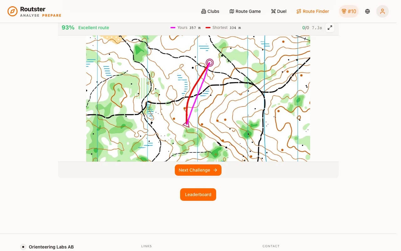
The warm-up round at the start of a session is not recorded, same as in the route choice game.
Draw the route, not the line