
The Mapping Lab
One map in, hundreds of route-choice challenges out.
The Mapping Lab turns an orienteering map into playable challenges. You supply the map; the pipeline finds pairs of points that make an interesting leg, computes route alternatives between them over the map's passable ground, measures each one, and renders the images the game shows you.
Two things every map needs
| Layer | What it is | What it decides |
|---|---|---|
| The colour map | The map a runner sees | What the challenge looks like on screen |
| The impassability layer | A black-and-white mask: black is impassable, white is passable | Where routes may go, and therefore what the correct answer is |
The mask is what keeps a generated route out of a building or a lake.
Four ways in
| Source | What happens | Best for |
|---|---|---|
| A pair of TIFs from OCAD | You export the colour map and the impassable-objects map yourself at 508 DPI. No generation step, no editing step. | Anyone with the OCAD file (fastest and most accurate) |
| A PDF, PNG or JPG | The impassability layer is generated from the image, usually in one to three minutes, and you refine it by hand. | Maps you only have as an image |
| An OCAD file (.ocd) | You upload the OCAD file itself and Routster renders the map and the impassability layer straight from its symbols. Sprint maps only. | Sprint maps, when you have the .ocd |
| A local run upload | A folder produced by a local run of the pipeline. It skips processing. | People who run the pipeline themselves |
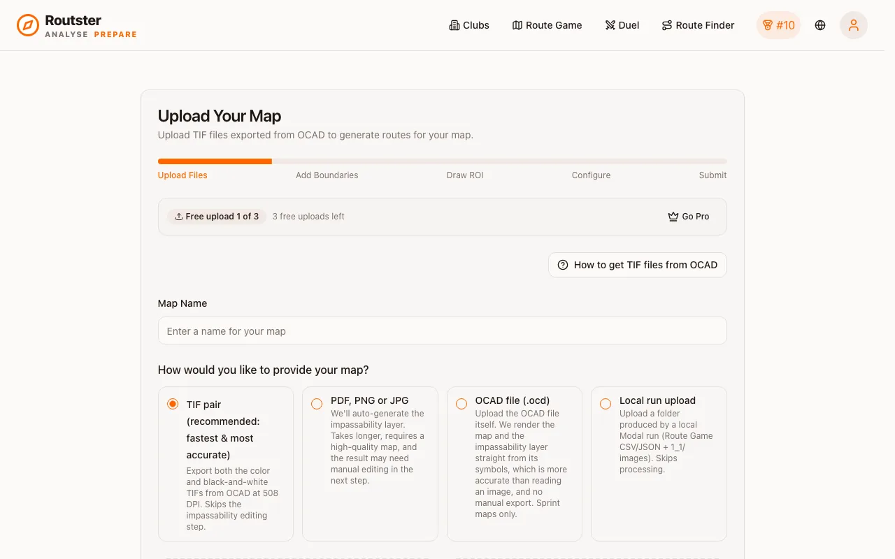
Use the OCAD route where possible
Three kinds of challenge from one map
The same source map can feed route choice, Route Finder and Route Navigator. They are separate generation jobs with separate parameters: route choice needs legs with competitive alternatives, Route Finder legs where the shortest path is non-obvious, and Route Navigator a network of junctions.
Sharing
| Visibility | Who can play it |
|---|---|
| Private | Only you. This is where every upload starts. |
| Club | Members of your club. The setting for preparing a squad for a specific terrain. |
| Community | Everyone. Needs a location so people can find it. |
None of these are the official pool, so attempts on them do not feed the global leaderboard. They do count on the map's own leaderboard. See Leaderboards.